
You are here
Website Development - Atlas of Historical County Borders
Project Summary
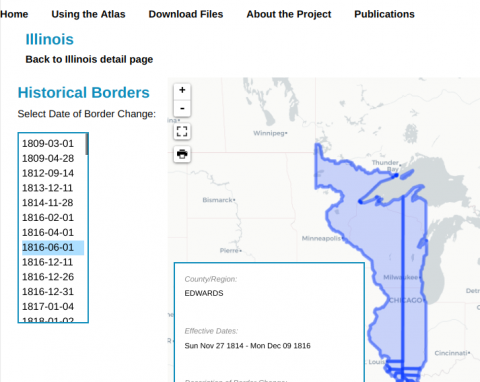
Historians and genealogists searching for historical records can often be challenged by geographical changes over time. As county and state borders have shifted throughout US history, locating physical records can be tricky. Over ten years ago, The Newberry Library created a digital atlas of every historical county, state, and territorial boundary in US history, dating to the first colonies. The data was served via an Esri ArcGIS viewer application which made it difficult for non-geographers to use effectively and required expensive in-house server resources.
The Galecia Group was contracted to replace the viewer application with a modern, cloud-based digital atlas. Thanks to a grant from Carto, the team was able to store the entire national dataset and build a simple timeline application and boundary viewer to allow users to easily access and visualize the data they need. Of course, all of the underlying data is still available for download for researchers that want to conduct their own local research.