You are here
Using "Arches" for mapping historical and cultural resources!
Posted by Jim Craner on February 1, 2019
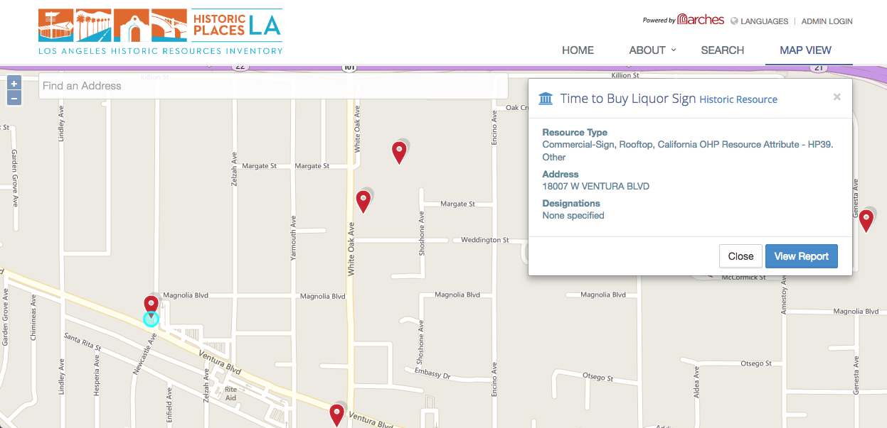
You can create simple online maps using free tools like Google's My Maps, but for serious collections of local landmarks, or historical/cultural resources, you'll need something more powerful, such as the custom platform that we built for Chicago Ancestors. I recently came across the open source platform "Arches," popularized by a digital history project in Los Angeles, that provides powerful geodata management capabilities perfect for digital humanities projects.
Anyone out there using Arches? DM me on Twitter (@jimcraner) or email me via the contact form!